Webbplatsen använder cookies. Genom att fortsätta så godkänner du användandet av cookies så som angett i vår Integritetspolicy.
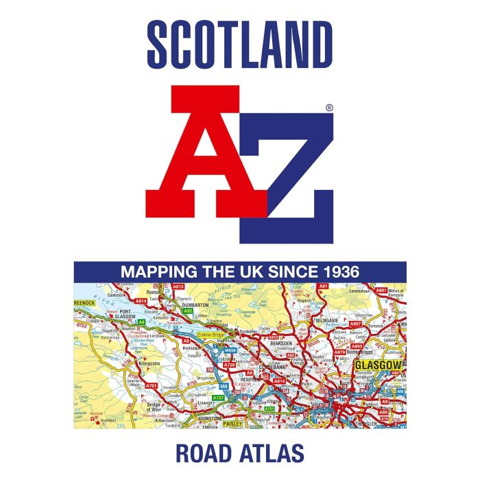
Skottland A-Z vägatlas
Artikelnr: 20064_gb
145 kr
Frakt 39 kr I lager
Produktbeskrivning
Navigate your way around Scotland with this detailed, full-colour and easy-to-use A-Z Road Atlas. From the border to the north coast, the mainland pages scale is 3.5 miles to 1 inch and the Western Isles, Shetland Islands and Orkney Islands scale is 4.5 miles to 1 inch. Covering the entire country, this road atlas includes the following features: Motorways with full junction detail, primary routes and destinations, A B roads, under construction and proposed roads, service areas, tolls, mileages, national, county and unitary authority boundaries Cairngorms and Loch Lomond The Trossachs National Park boundaries Selected places of interest and tourist information centres 20 city and town street maps are included for Aberdeen, Aviemore, Ayr, Dumfries, Dundee, Dunfermline, Edinburgh, Glasgow, Falkirk, Fort William, Hamilton, Inverness, Kilmarnock, Kirkcaldy, Motherwell, Oban, Paisley, Perth, St Andrews and Stirling. Also included is a comprehensive index to cities, towns, villages, hamlets and locations.
Läs mer
Leverans & retur
Din beställning levereras normalt inom 2-3 arbetsdagar. Beställningsvaror eller varor som tillverkas vid beställning kan ha längre leveranstid. Kostnaden för leverans är max 49 kr eller fraktfritt vid köp över 699 kr.
Leverans sker normalt till närmsta utlämningsställe eller som hemkörning vid tyngre varor. Vid hemkörning kontaktas du inför leveransen för att bestämma tid.
Detta är en Plus-produkt som har förlängt öppet köp upp till 30 dagar om du vill byta eller lämna tillbaka varan och få pengarna tillbaka.
Levereras av: Kartbutiken


