Webbplatsen använder cookies. Genom att fortsätta så godkänner du användandet av cookies så som angett i vår Integritetspolicy.
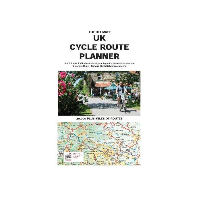
UK Cycle Route Planner
Artikelnr: 15945_gb
190 kr
Frakt 39 kr I lager
Produktbeskrivning
Brings all of the UK s signed cycle routes together on one map. Uses the outstanding quality and detail of Times Comprehensive Atlas mapping, Sustrans National Cycle Network and other popular cycle trails are featured and defined - traffic free or on road. Family cyclists will love the listed traffic free trails. Sustrans National Cycle Network route numbers, corresponding with route signage on the ground Attractions (stately homes, country parks, museums etc) on or near suggested routes New clearer route design Other routes include regional routes such as county cycle ways and those National Trails on which bikes are allowed such as the Pennine Bridleway and the Ridgeway. Many hundreds of miles of minor road routes. There are also links shown to signed cross-channel routes such as the Avenue Verte (London-Paris), so that long distance route planning is also made easy.
Läs mer
Leverans & retur
Din beställning levereras normalt inom 2-3 arbetsdagar. Beställningsvaror eller varor som tillverkas vid beställning kan ha längre leveranstid. Kostnaden för leverans är max 49 kr eller fraktfritt vid köp över 699 kr.
Leverans sker normalt till närmsta utlämningsställe eller som hemkörning vid tyngre varor. Vid hemkörning kontaktas du inför leveransen för att bestämma tid.
Detta är en Plus-produkt som har förlängt öppet köp upp till 30 dagar om du vill byta eller lämna tillbaka varan och få pengarna tillbaka.
Levereras av: Kartbutiken


