Webbplatsen använder cookies. Genom att fortsätta så godkänner du användandet av cookies så som angett i vår Integritetspolicy.

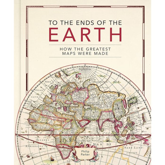
To the Ends of the Earth: How the greatest maps were made
Artikelnr: 19228_gb
395 kr
Frakt 39 kr I lager
Produktbeskrivning
This lavishly illustrated book provides a unique insight into the evolution of mapmaking and the science behind it, from the stone age to the digital age. Britain s leading cartographic author takes us on a historical journey through how the greatest maps were created. Exploring key cartographers and mapmaking methods, as well as fascinating interludes on subjects such as the very first maps, deliberate mistakes, and superlative maps, this comprehensive guide explores how the techniques and technology have developed throughout human history: Evolving methods of surveying: from the Roman groma, through the naval instruments of the magnetic compass, astrolabes and sextants, to the 20th century revolution of aerial photography Drawing tools and materials: from Babylonian maps carved in clay, to digital maps created via touchscreen The introduction of various mapping conventions and key components of a map: from Ptolemy s introduction of longitude and latitude, through the 13th century origins of having north at the top, to the various projections used to represent the Earth. With visually stunning historic maps and antique instruments, this book will engross readers with its fascinating stories of how we came to chart our world.
Läs mer
Leverans & retur
Din beställning levereras normalt inom 2-3 arbetsdagar. Beställningsvaror eller varor som tillverkas vid beställning kan ha längre leveranstid. Kostnaden för leverans är max 49 kr eller fraktfritt vid köp över 699 kr.
Leverans sker normalt till närmsta utlämningsställe eller som hemkörning vid tyngre varor. Vid hemkörning kontaktas du inför leveransen för att bestämma tid.
Detta är en Plus-produkt som har förlängt öppet köp upp till 30 dagar om du vill byta eller lämna tillbaka varan och få pengarna tillbaka.
Levereras av: Kartbutiken