Webbplatsen använder cookies. Genom att fortsätta så godkänner du användandet av cookies så som angett i vår Integritetspolicy.

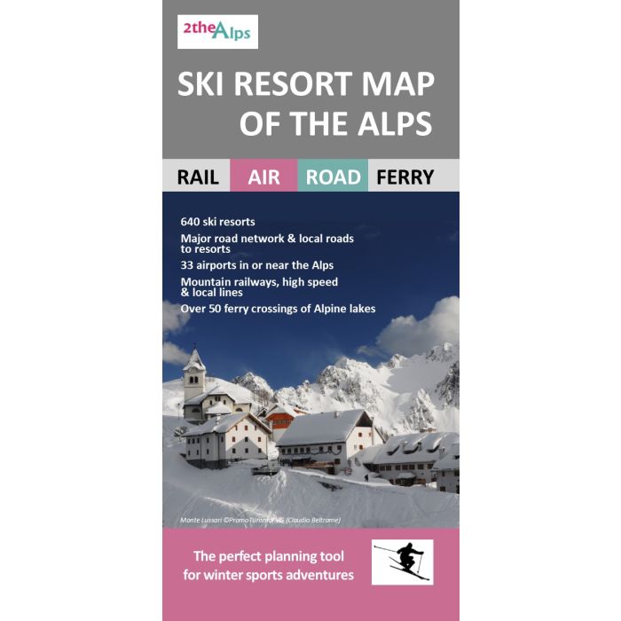
Ski Resort Map of the Alps
Artikelnr: 1259~13782_gb
239,00 kr
Frakt 39 kr I lager
Produktbeskrivning
Key features of the map include: Attractive, clear layout at a scale of 1:1,336,500 (approximately one inch to 21 miles) 640 indexed resorts in Austria, France, Germany, Italy, Liechtenstein, Slovenia and Switzerland Mountain railways, local and high speed lines to help plan transfers from airports (or international travel) by train Eurostar Ski Train route from St Pancras to the French Alps Complete network of major roads across the region and minor roads serving resorts Roads closed for winter Resorts directly accessible by train Large linked ski areas, such as the 3 Valleys and the Portes du Soleil highlighted and indexed Main ferry services across the Alpine lakes that take you to, or close to, resorts The position of over 30 airports in, or near, the Alps highlighting those with their own railway station for an easy onward connection Resorts with thermal spas included and indexed Extensive information on 100 selected resorts (extent of downhill and cross-country skiing, altitude and vertical drop, number of lifts, availability of glacier skiing, and accessibility by train)
Läs mer
Leverans & retur
Din beställning levereras normalt inom 2-4 arbetsdagar (kontrollera leveranstid för önskad vara). Beställningsvaror eller varor som tillverkas vid beställning kan ha längre leveranstid. Kostnaden för leverans bestäms av säljaren.
Leverans sker normalt till närmsta utlämningsställe eller som hemkörning vid tyngre varor. Vid hemkörning kontaktas du inför leveransen för att bestämma tid.
Du har öppet köp i 14 dagar om du vill byta eller lämna tillbaka varan och få pengarna tillbaka.
Levereras av: Kartbutiken
Alternativa produkter
-
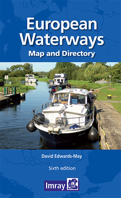 Map of European Waterways295,00 kr
 -
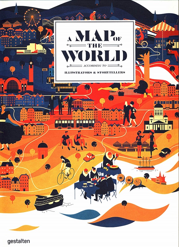 A Map of the World499,00 kr
 -
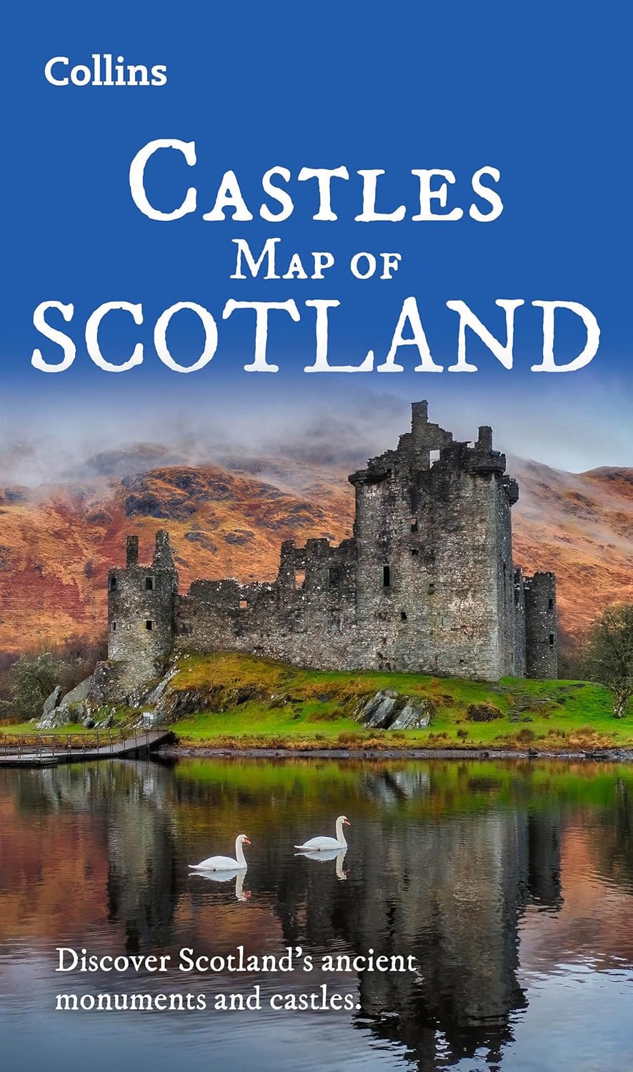 Castles Map of Scotland Collins119,00 kr
 -
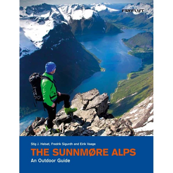 Ski Touring in the Sunnmore Alps449,00 kr
 -
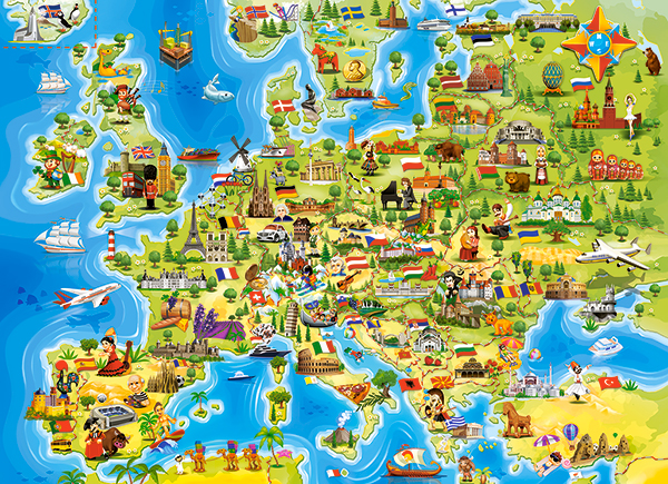 Map of Europe Pussel 100 bitar149,00 kr
 -
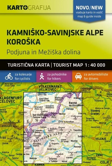 Kamnisko - Slovenska Alperna Hiking Map189,00 kr
 -
 Julian Alps Hiking Map Cordee195,00 kr
 -
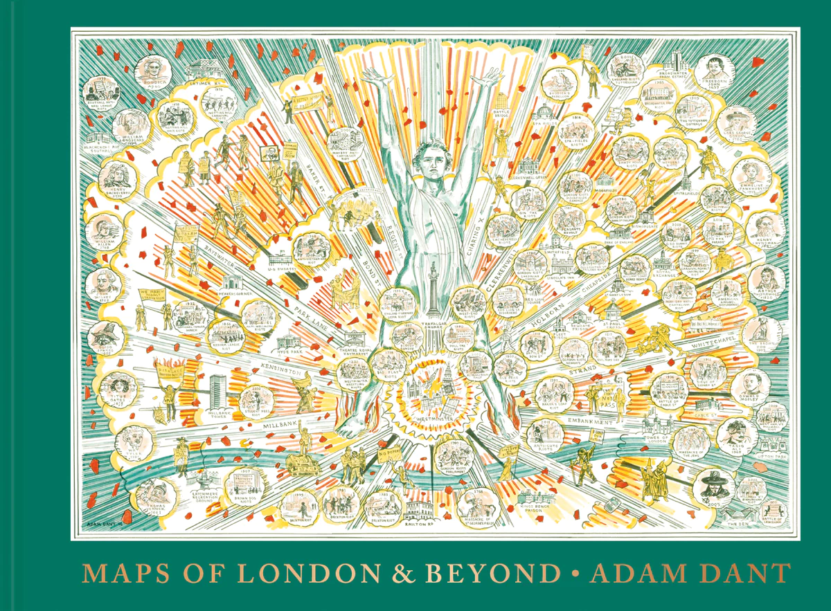 Maps of London and Beyond395,00 kr
 -
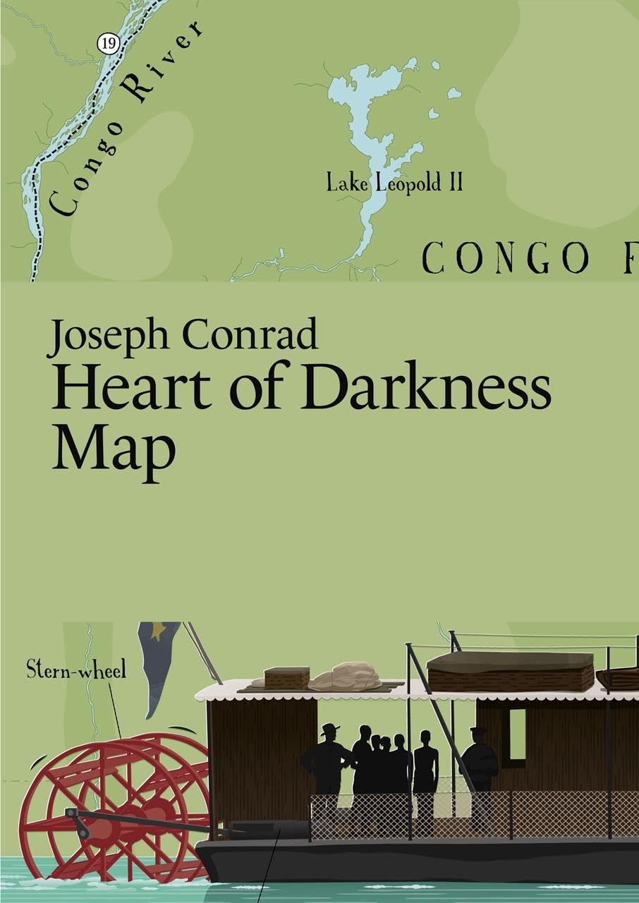 Heart of Darkness Map - Literary Map125,00 kr
 -
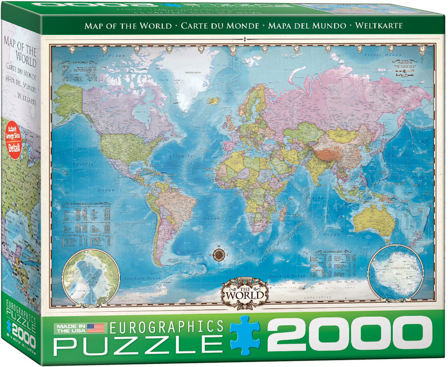 Map of the World Pussel 2000 bitar375,00 kr
 -
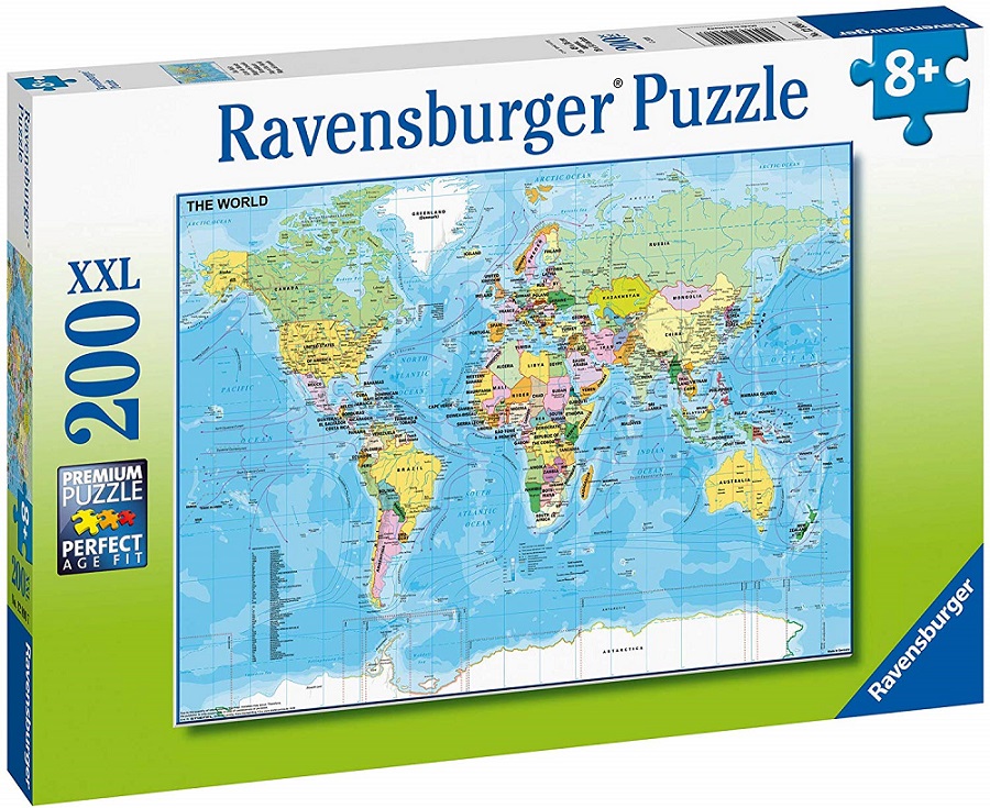 Map of the World Pussel 200 bitar159,00 kr
 -
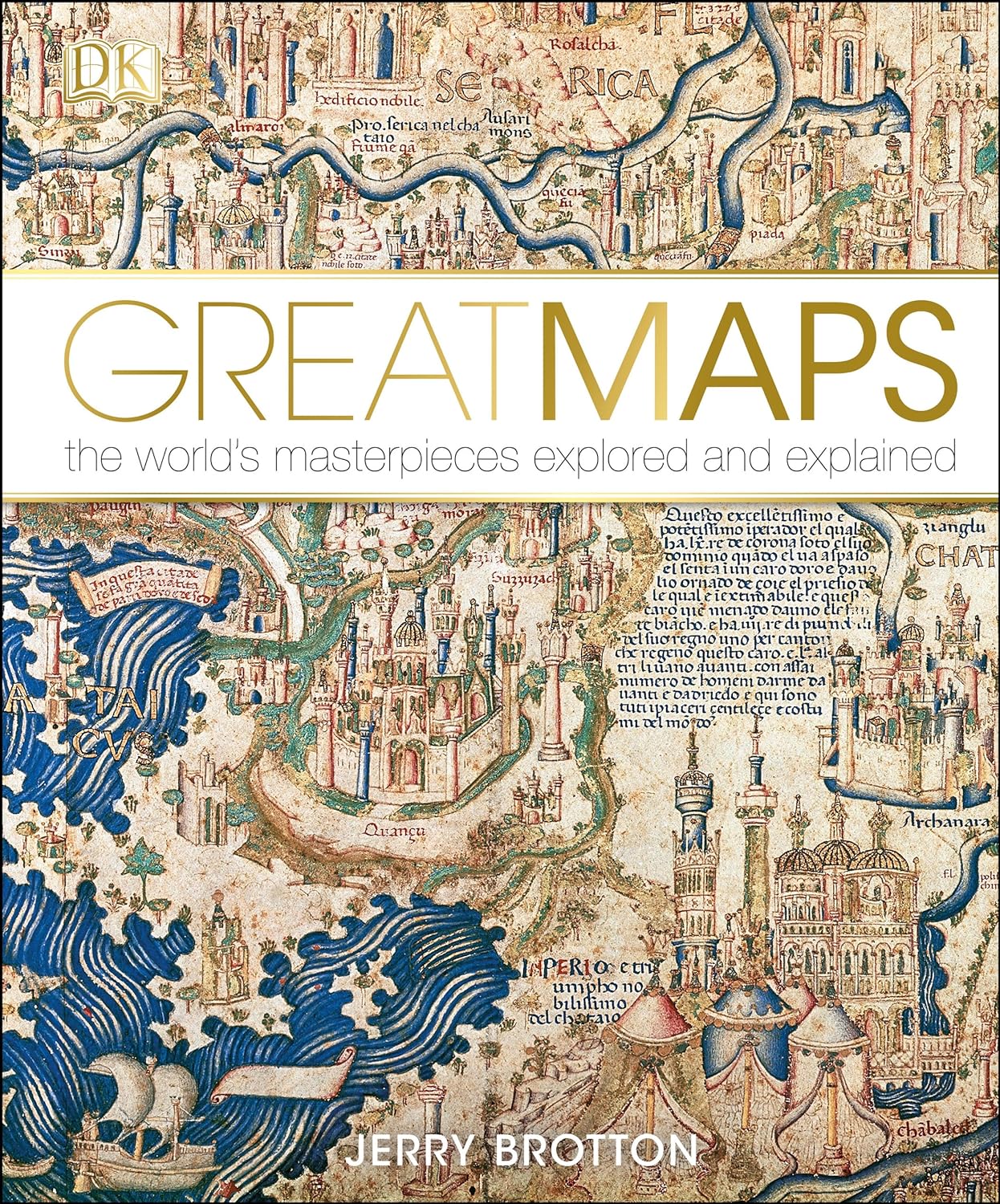 Great Maps395,00 kr
Andra köpte också
-
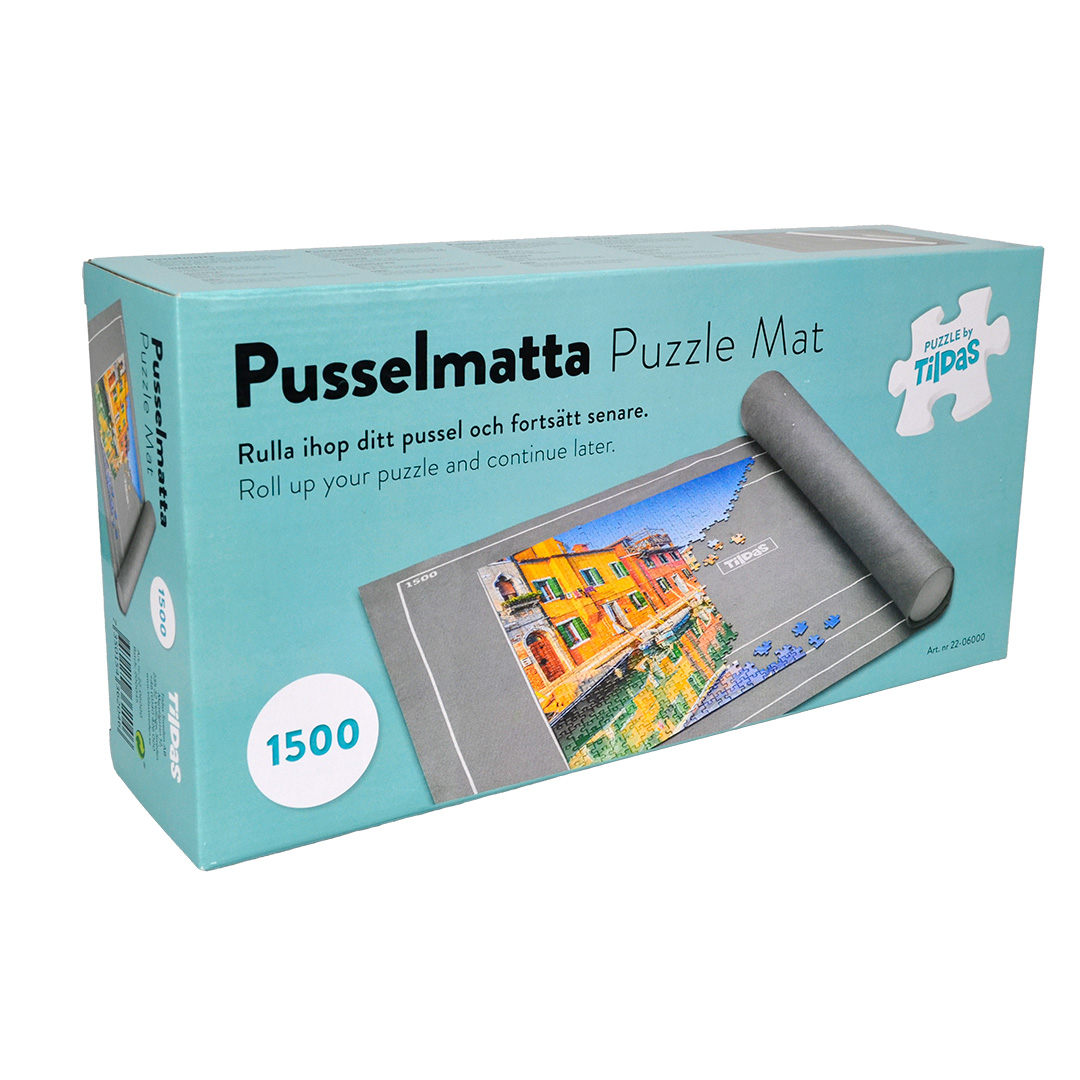 Pusselmatta 500-1500 bitar195,00 kr
 -
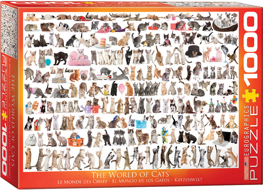 The World of Cats Pussel 1000 bitar279,00 kr
 -
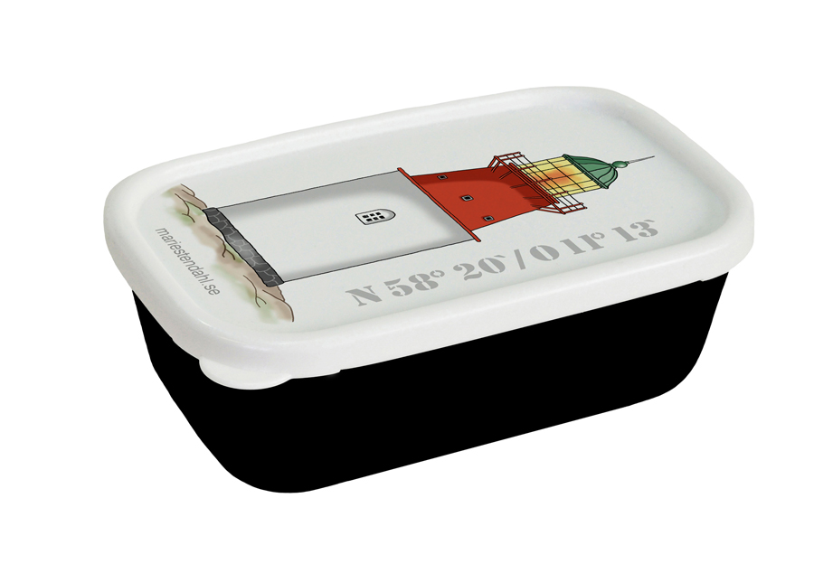
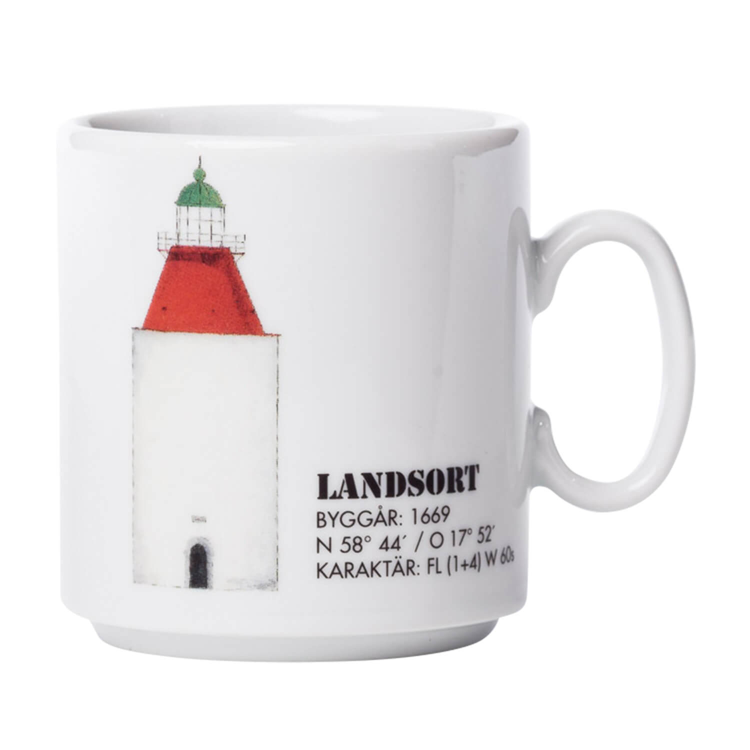 Fyrmugg Landsort145,00 kr
 -
 Minibox Svenska Högarna69,00 kr
 -
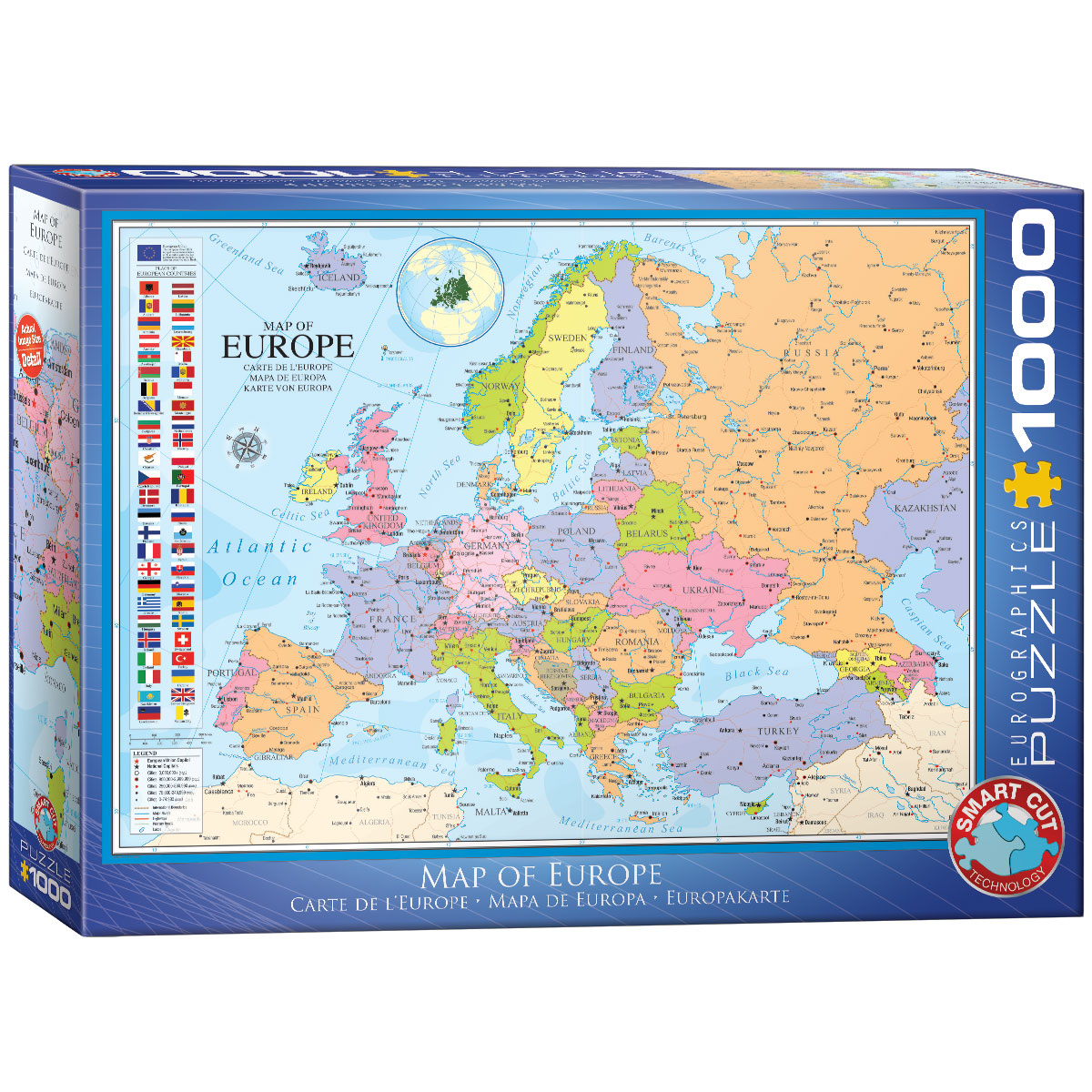 Europa Pussel 1000 bitar279,00 kr
 -
 Minibox Hållö69,00 kr
 -
 Skottland A-Z Visitors Map99,00 kr
 -
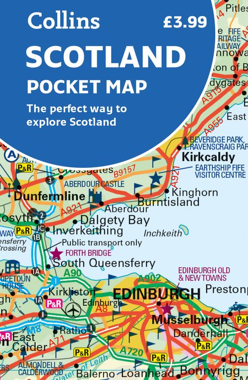 Skottland Pocket Collins59,00 kr
 -
 Bröstnäsduk Paisley Svart109,00 kr
 -
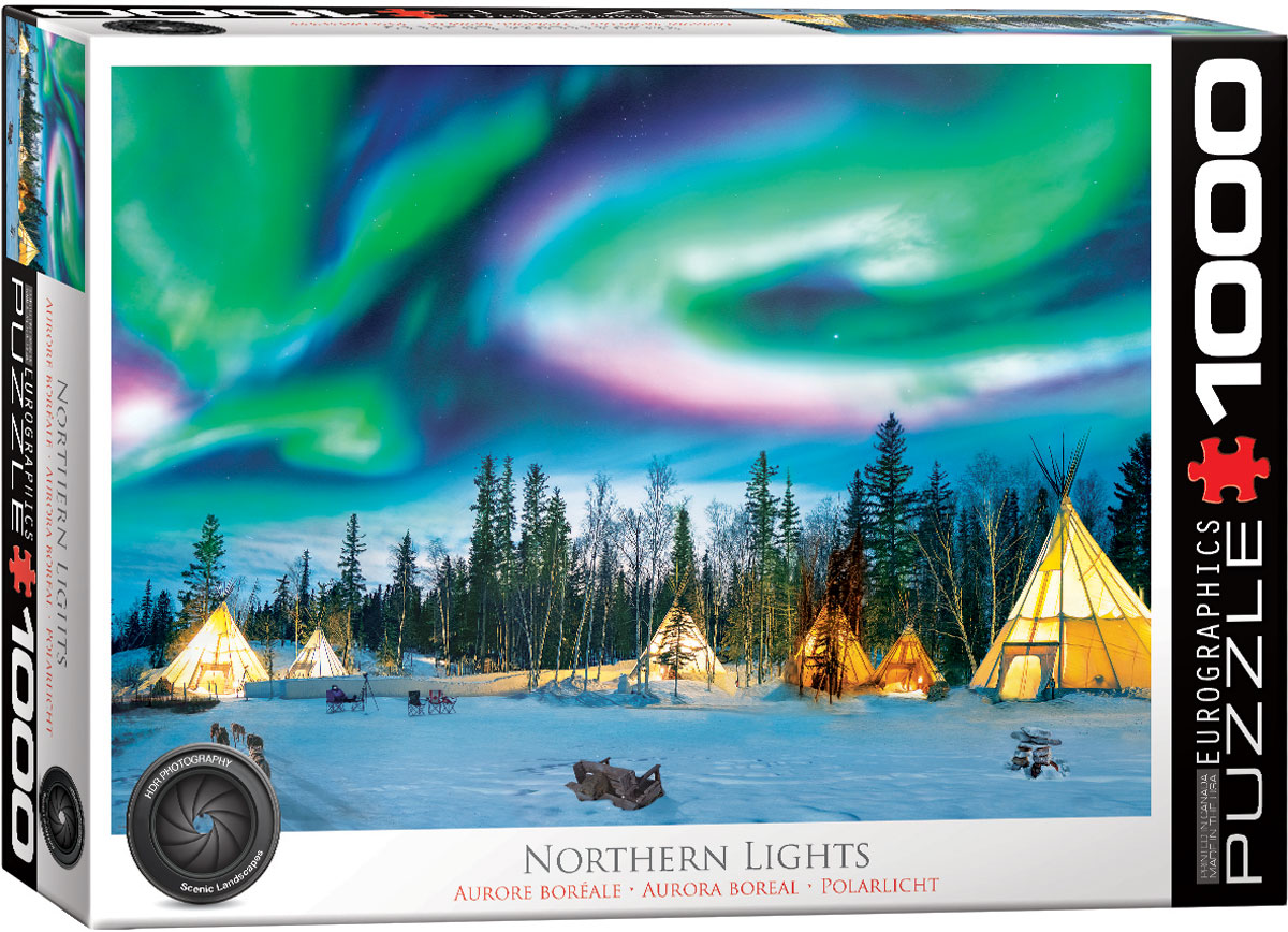 Northern Lights Pussel 1000 bitar279,00 kr
 -
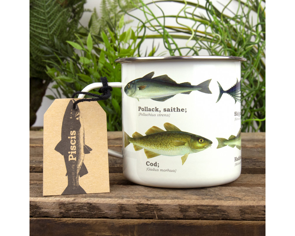 Emaljmugg Fisk165,00 kr
 -
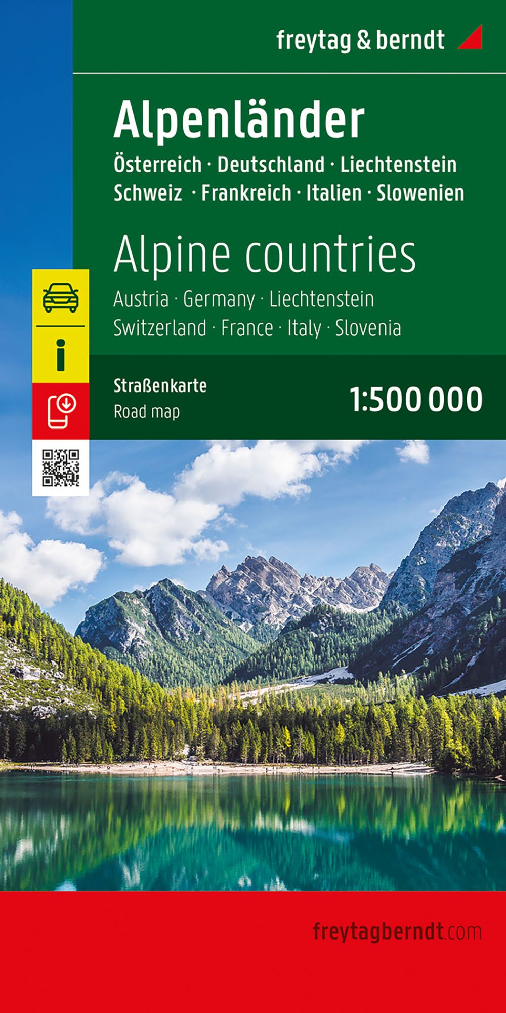 Alperna FB149,00 kr